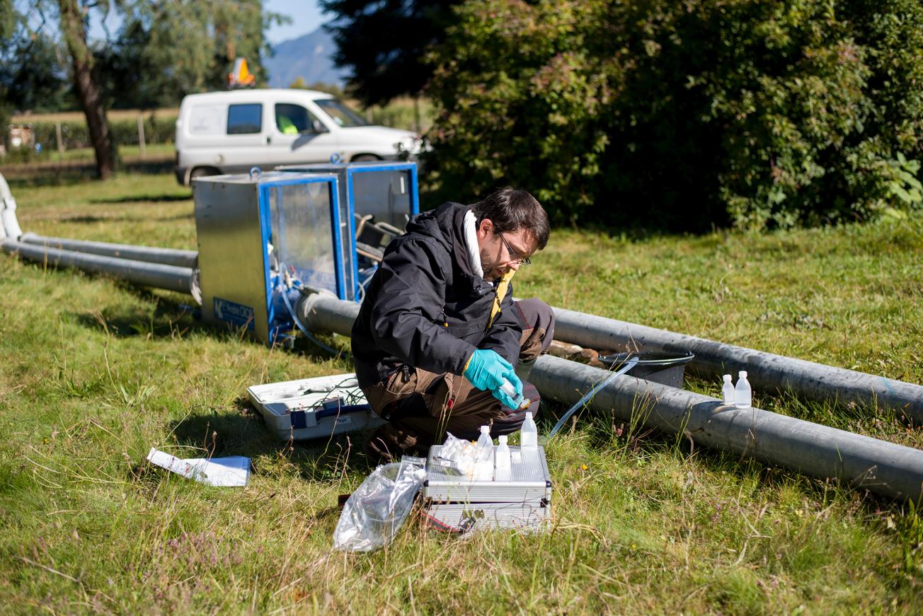
Water sampling during a long-term pumping operation, Pontcharra (2017).
© Ville de Pontcharra
The need
The town of Pontcharra had several objectives in mind: to understand groundwater flows up to its pumping sites to estimate the maximum productivity of the main structure, and to plan the development of municipal land to cater for the demand and hence preserve the drinking water resource. In response, the local authority called on BRGM, which is recognised for its expertise in this area of the Isère valley, especially because of its recent work on the identification/delimitation of other protected drinking water areas to ensure a sustainable supply of drinking water for the long term.
The results
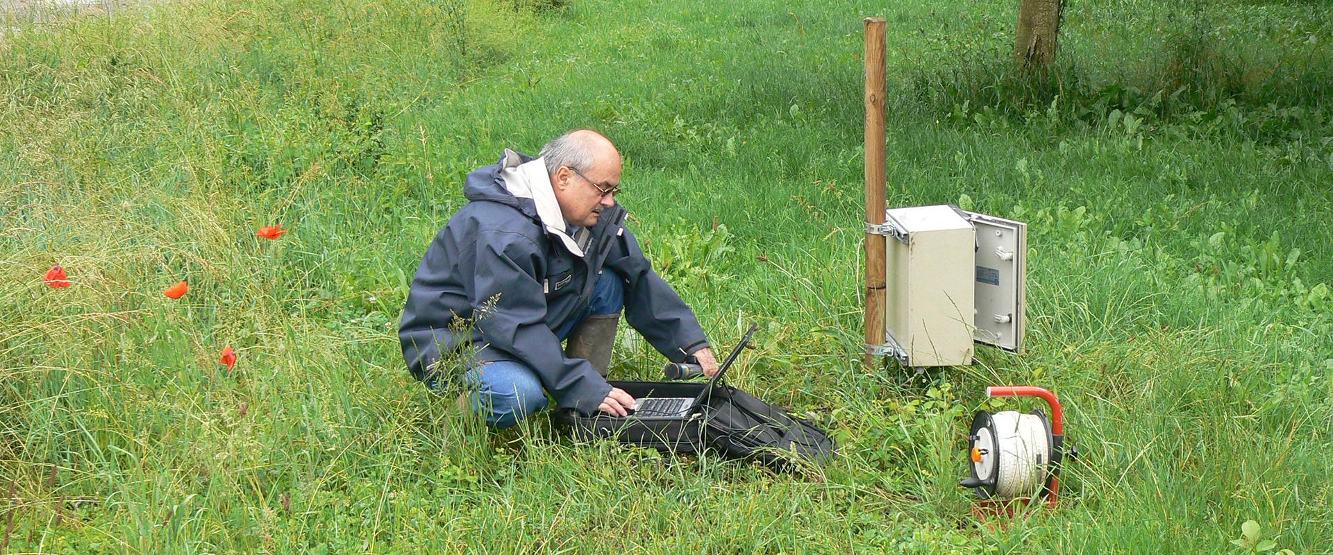
The multi-disciplinary approach (involving measurements in boreholes, pumping tests, isotope analyses, river gauging, etc.) deployed in this project has enabled us to better understand the origin and paths of the groundwater up to the drinking water (AEP) abstraction structures of Pontcharra: part of the flow comes from groundwater–surface water interactions along the Bréda (a river crossing the commune); the other part comes from infiltration and from the aquifer of the former alluvial deposits of the Isère river (arriving from the north). The major advances of this project are:
- the achievement of a flow rate of more than 430 m3/h, for 3 days, which confirms the excellent productivity of the aquifer;
- the successful collaboration with bordering municipalities, on the delimitation and preservation of this protected drinking water area (ZSE);
- the installation of two piezometers for monitoring the new ZSE.

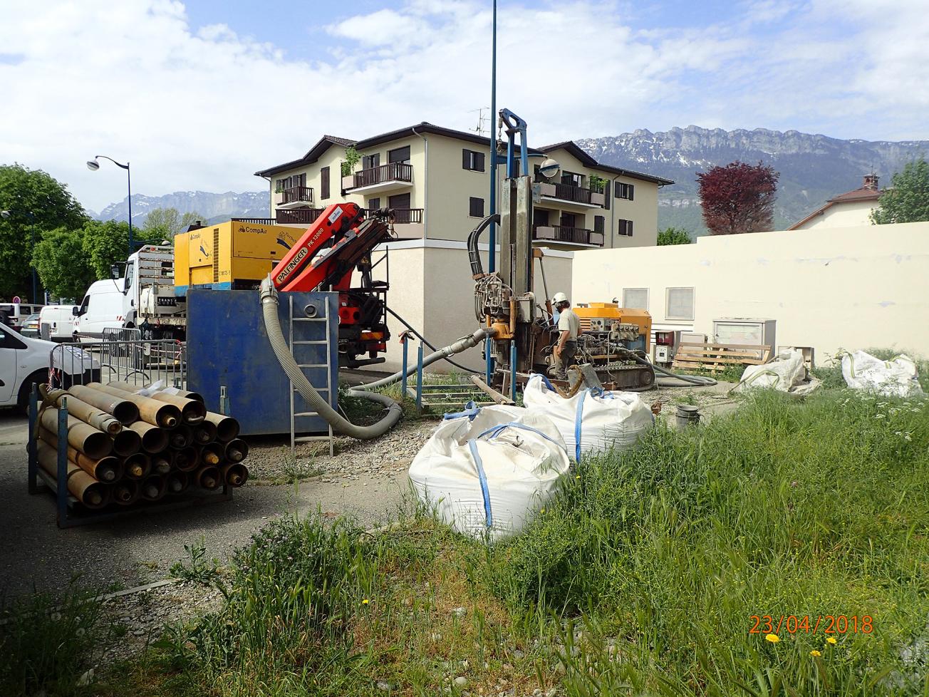
Drilling of a borehole for installing a monitoring piezometer in an urban environment (Pontcharra, 2018).
© BRGM – F. Crastes de Paulet
Using the results
The creation and delimitation of this ZSE encouraged all the municipalities concerned by the new perimeter to take greater account of groundwater in the management of their respective land (integration into the local zoning regulations (PLU), reorientation of development projects, etc.). Since the end of the study, responsibility for managing the drinking water resource has also been transferred to the inter-municipal authority (Communauté de communes) of Grésivaudan. Via a dedicated sheet for this ZSE, the authority now has a tool for monitoring the water table levels (with recommendations concerning monitoring piezometers and physical-chemical parameters) and for managing its urban planning. Moreover, the study should in the medium term lead to a revision of the preventive health measure zones of the Pontcharra abstraction structures by the government departments concerned.
The partners
- Town of Pontcharrra
- Rhône-Méditerranée-Corse Water Agency

BRGM has done a great deal of mediation and outreach work with elected officials so that they can take up the environmental issue. The results of the study have thus led to recommendations that will have a direct impact on our local land-use master plan. The protective perimeter as defined in the study means that we shall have to review our land-use strategy in order to preserve the resource, especially for two-thirds of the northern area of the Puits des Planches.


