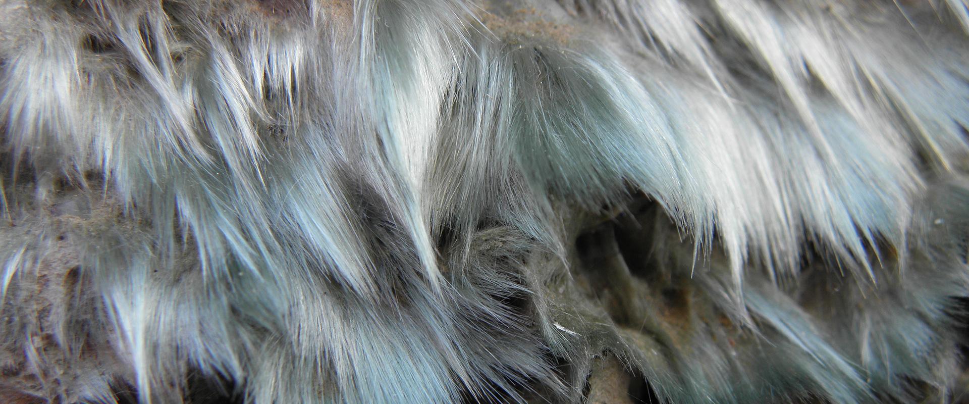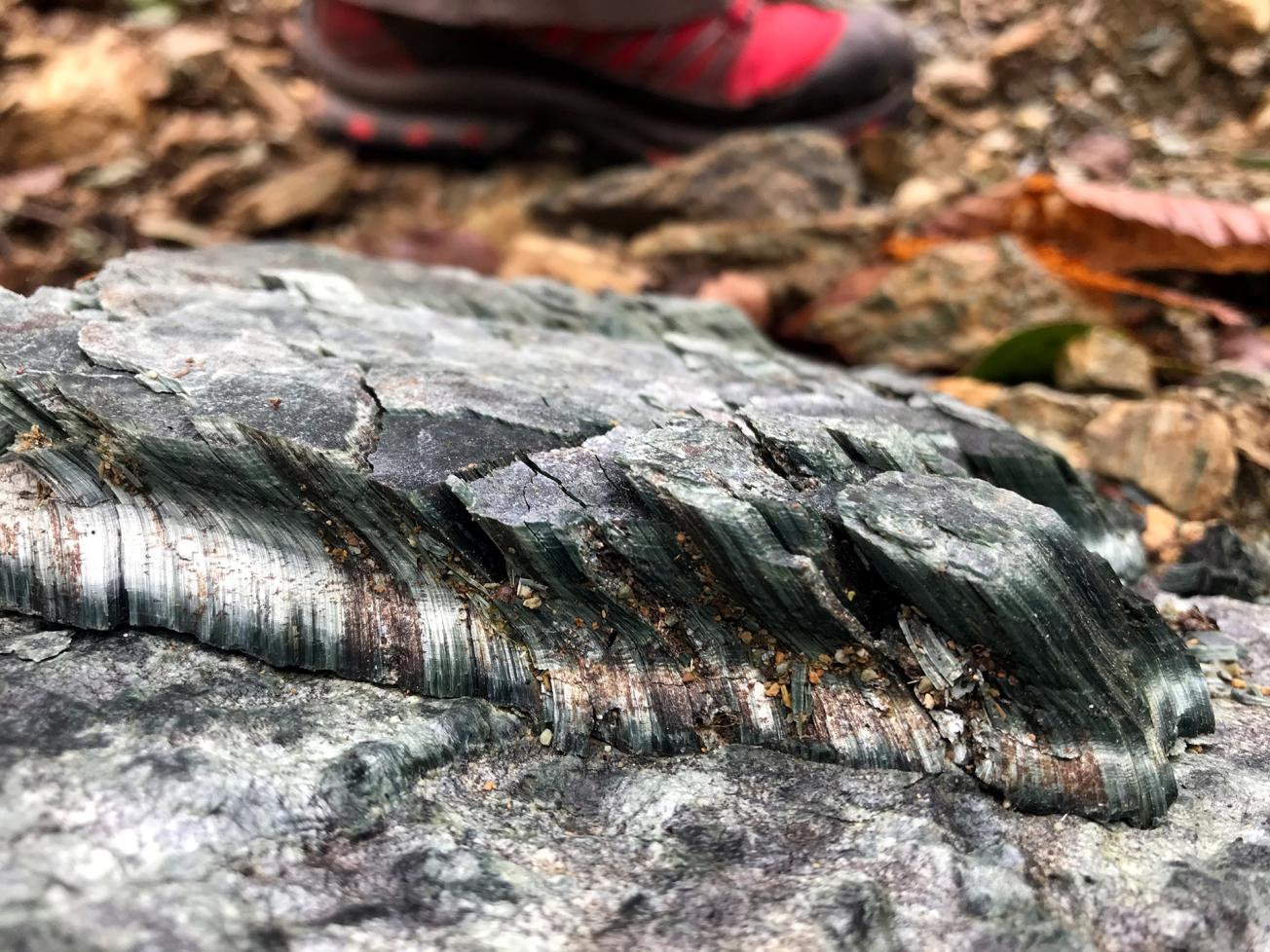
Chrysotile seam, Rutali (Corsica, 2020).
© BRGM - Anne Eléonore Paquier
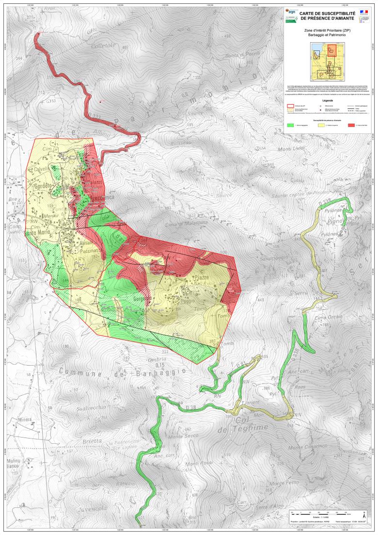
Asbestos susceptibility map of the municipalities of Barbaggio and Patrimonio in Corsica, scale of 1:5000.
© BRGM
The need
A particular characteristic of the Haute-Corse département is that it has numerous outcrops of rock containing or liable to contain asbestos. These rocks are subject to natural erosion as well as human activities, and can disintegrate and release the asbestos fibres they contain into the air, therefore posing a health risk to the exposed population.
In order to prevent this risk, BRGM was asked to identify the areas most likely to emit asbestos fibres as they stand, and propose technical solutions to reduce their emission capacity.
The results
The work focused on priority investigation zones, whose limits were set out for each municipality according to the risks of occurrence and the human implications.
In order to produce the maps at this scale of precision (1:5000), geologists listed the different geological formations according to their risk level. Two hundred samples, taken in the field, were analysed in BRGM's laboratories in Orléans, in order to resolve any uncertainties related to the nature and morphology of the fibrous minerals found in certain high-risk formations.
All this geological information was then integrated into a GIS to map the susceptibility to asbestos occurring in the natural environment, according to three separate categories:
- Class 1 (grey): Zero to infinitesimal probability of the presence of asbestos minerals in the natural environment,
- Class 2 (yellow): Low to moderate probability of the presence of asbestos minerals in the natural environment,
- Class 3 (red): High to very high probability of the presence of asbestos minerals in the natural environment.
Lastly, at the end of the study, general recommendations were made for each area on the implementation of technical solutions to reduce the emission capacity of natural outcrops and therefore limit population exposure to asbestos fibres.
Using the results
Ultimately, provision of these data enables local stakeholders to take measures to reduce passive and/or active population exposure.
The partners
- Corsican Environment Office
Corsica has played a pioneering role in environmental asbestos mapping at national level. The working methodology was tested here in order to be able to draw up hazard maps accurate to 1:5000. With support from the ERDF, we were able to provide the technical information needed to allow public decision-makers to enforce the regulations in terms of urban planning and various works in the asbestos zones.
Public reports
-
Etat d'avancement du projet de cartographie 1/5 000 de la susceptibilité de présence d'amiante dans le milieu naturel sur 26 communes des secteurs de Ponte-Leccia et du centre du Cap-Corse. (in French)
-
Reconnaissance des zones naturelles amiantifères sur neuf communes de la région du Nebbio (Haute Corse). (in French)
-
Reconnaissance des zones naturelles amiantifères sur huit communes de la région de Bastia (Haute-Corse). Rapport final. (in French)

