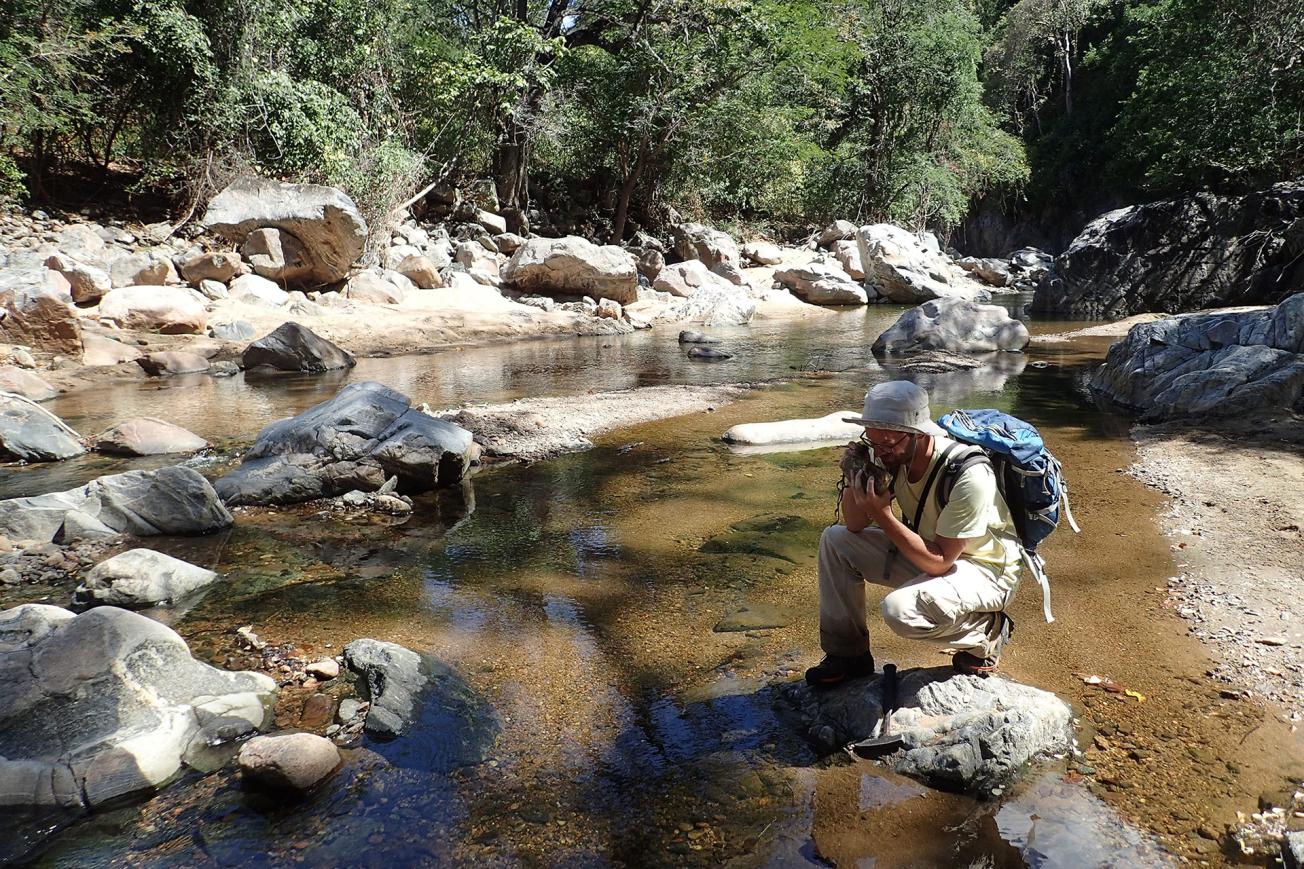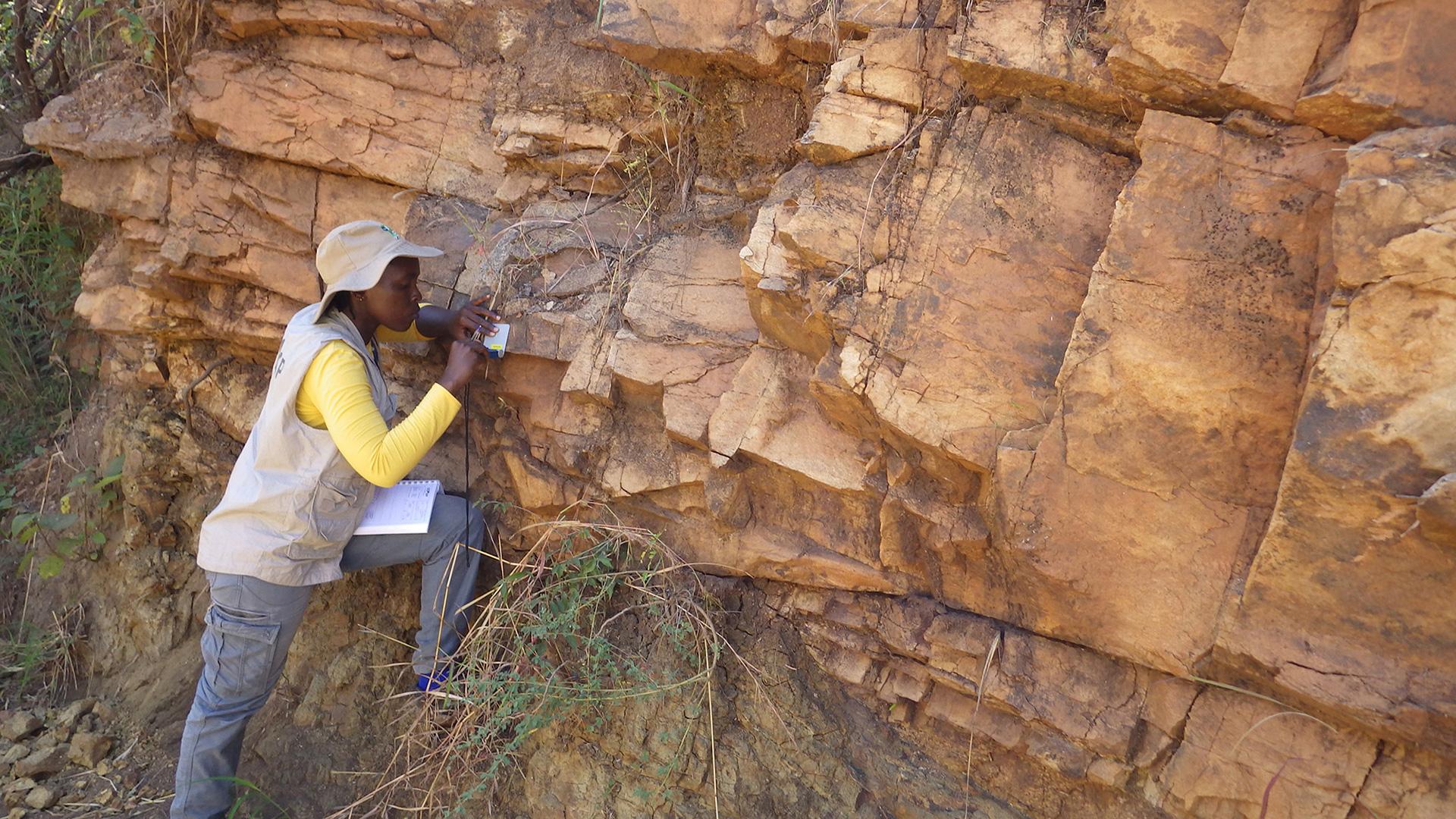
A geology field survey to update knowledge and geological maps and draw up an inventory of mineral potential (Malawi).
© BRGM - Nicolas Charles
Malawi is a small Southern African country covering 118 844 km2 between Mozambique, Zambia and Tanzania. As in many African countries, developing and diversifying its mining sector are of major importance for its economic development.
This is the issue addressed by the “Geological Mapping and Mineral Assessment of Malawi” project (GEMMAP) signed in June 2016 and implemented over 4.5 years by a consortium led by the BRGM and partnered by GTK and the CGS (the geological survey organisations of Finland and South Africa).
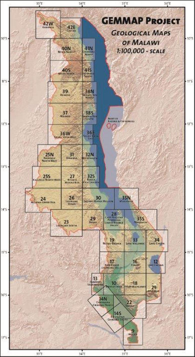
This €10.2 million project, financed by France via a debt relief and development contract, aims to assist Malawi in undertaking a geological mapping and mining inventory programme across the entire country. As well as updating the geological map coverage of Malawi (40 maps to the scale of 1:100 000, 10 maps to 1:250 000 and one map to 1:1 000 000) and the inventory of its mining potential, the programme includes a geochemical survey of stream sediments and an analysis of the small-scale mining sector, a natural risk mapping component and production of a database and a Geographic Information System (GIS). Like all projects conducted by the BRGM in Africa, GEMMAP includes an ambitious training component for professionals working for Malawi’s geological survey and Ministry of Mining. Training will take place in the field with mentoring by BRGM geologists, through work experience with consortium partners and through diploma courses (Master’s degrees and continuing training). Potential development plans for the coming years include establishing long-term cooperation between local academic players (Chancellor College), the Ministry of Mining and foreign universities (France, Germany and South Africa).

A geology field survey in Malawi
-
3000.00samples
-
12.00geological maps
-
180.00reinterpreted indices
Initial field campaign in 2017
The BRGM had already worked on Malawi’s geology and mineral resources in cooperation with its counterparts in Malawi, producing a brochure in 2015 summarising current knowledge to promote the mining sector.
This was the basis for an initial field campaign conducted in 2017, aiming to review, relocate and reinterpret all known indices (about 180), in anticipation of a geochemical survey of stream sediments, which plans to take some 3000 samples.
These studies have already indexed - and confirmed - numerous occurrences of minerals across 2/3 of the southern part of the country (sulphides, copper, graphite, titanium, vermiculite and rare earths, including high potential for the niobium used in new technologies). The petrographic and geochemical characterisation studies now under way should produce a better understanding of the origins of these minerals and their potential.
Particular attention is given to small-scale mining for gemstones (corundum, rubies, beryl, tourmaline and spinels) with a view to organising the sector more efficiently, in particular through training for those involved and the establishment of a certificate of origin. To date, 12 geological maps to the scale of 1:100 000 (out of 40) are being finalised and a GIS is under development to document the main active quarries producing industrial rocks and minerals (marble and aggregate, both essential to the country’s development) and potentially favourable lithological formations.


